We roll off the boat on the north end of Andoya to discover… a puncture! Not sure how this happened. We’re getting quite quick at fixing them (or more, I am fixing them while everyone else lazes about) and soon, after restocking supplies, we are off. The aim is to descend the west (quieter) coast of the island and stop somewhere further down for the night. There’s a few campsites on the map. Luckily in this land of the midnight sun we are not pressed for time.
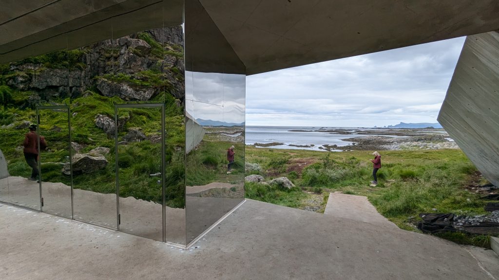
The toilets are the attraction! 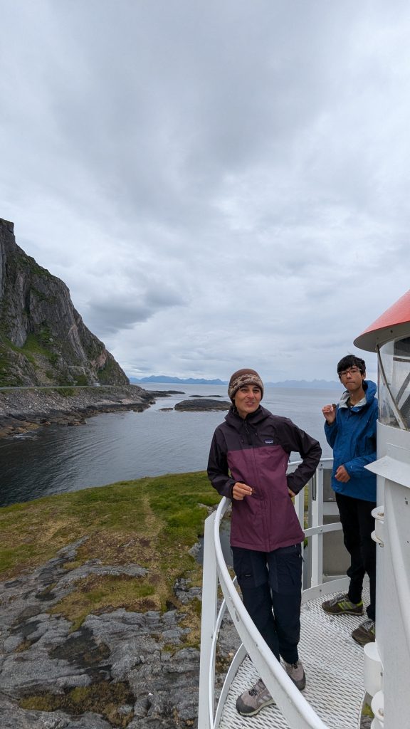
Lighthouse Loonies
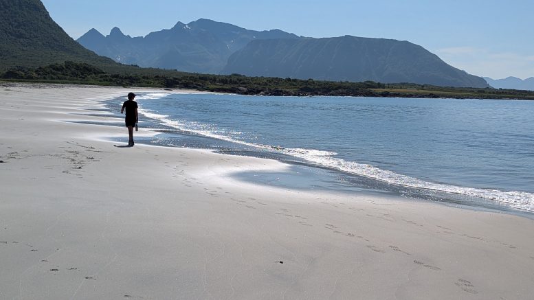
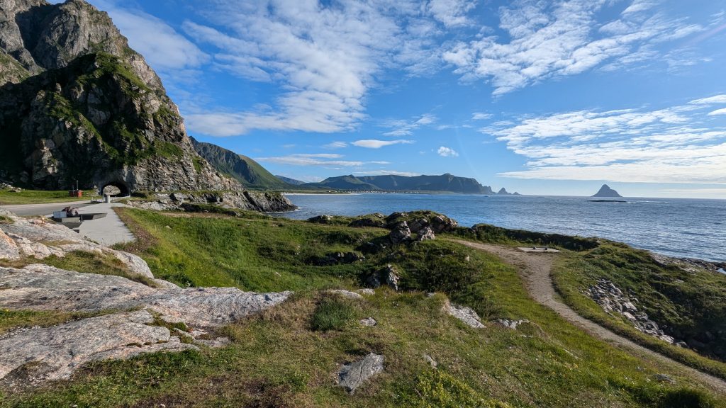
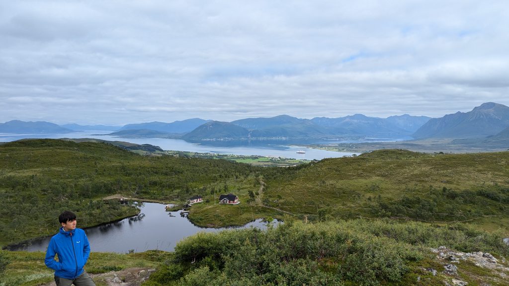
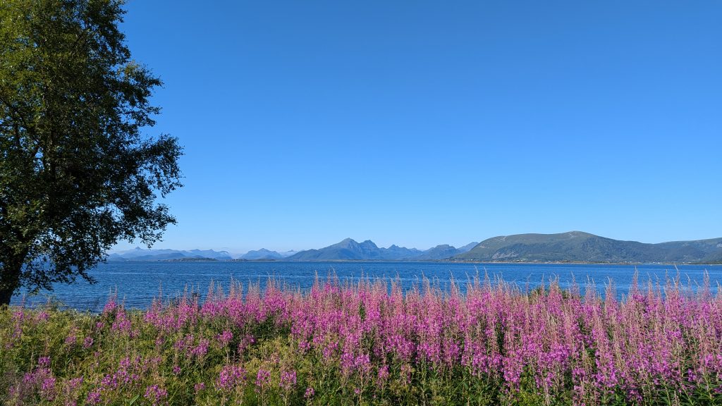
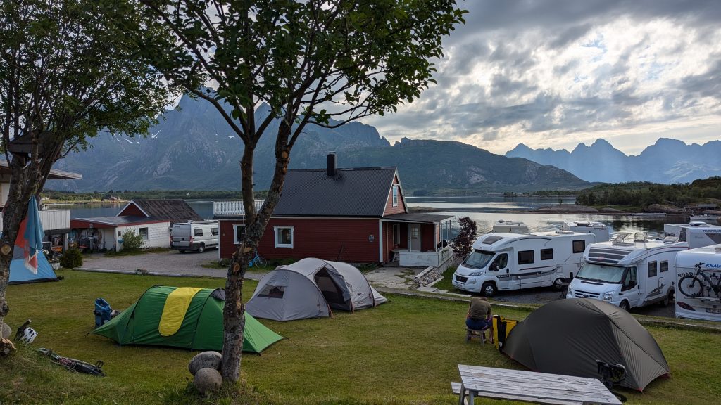
The route is beautiful and windy (not windy!) and pretty flat with hardly any traffic. High cliffs and hills on the left, rugged coast and a few beaches on the right. We stay at some huge camping site where there are few showers and queues. We shower at midnight. The next day we continue down the coast, past the space launch site (no rockets present), the world’s most scenic public toilets, lighthouse climbing, and lunch at an expansive nature reserve beach where the sands are white and the water clear and inviting, until you put a toe in. Turning away from the coast, we cross to the east side of the island to pick up the main road and the bridge over to Hinnoya(?) where we stay in some dreary campervan focused campsite with no hot water. You can tell that we are becoming disillusioned with staying in campsites even though some children still advocate strongly for them. They are inevitably less comfortable and less fun than wild/free camping or staying in the huts.
Onwards, crossing the bridge into Sortland on Langoya where we stashed the bikes in the woods and hiked up a short 2km or so trail up up to a DNT hut (Turlagsstua) that is nestled next to a small lake up on the mountain side. It is I think intended for school groups as it can sleep 25+ people but it was just us. And it had a sauna on the lakeside too!
We stayed in the hut for two nights, using the intervening day to hike up Boblaheia, the local peak at 610m and usually written with more accents. More mackerel for lunch on high, some lazing about in the heather and much time to take in the expansive views across the sound/channel towards the real peaks of the real Lofoten, including Blaskavaltlinden where we were to summit a few days later (little did we know).
Descending back to our bikes, it’s on on on following the main road along the east coast of Langoya and across the long bridge to Handseloya. It must have been a Sunday or something as everything was closed and we struggled to find anything too eat. No icecreams for us! We carried, on circling to the west coast and stopping at Kolvika beack to camp. A beautiful little spot and not crowded. Even the motards turned off their music when asked. We walked out to the rocky point to try to catch some fish. No luck. Or is it skill? Bathed (quickly) in the sea!
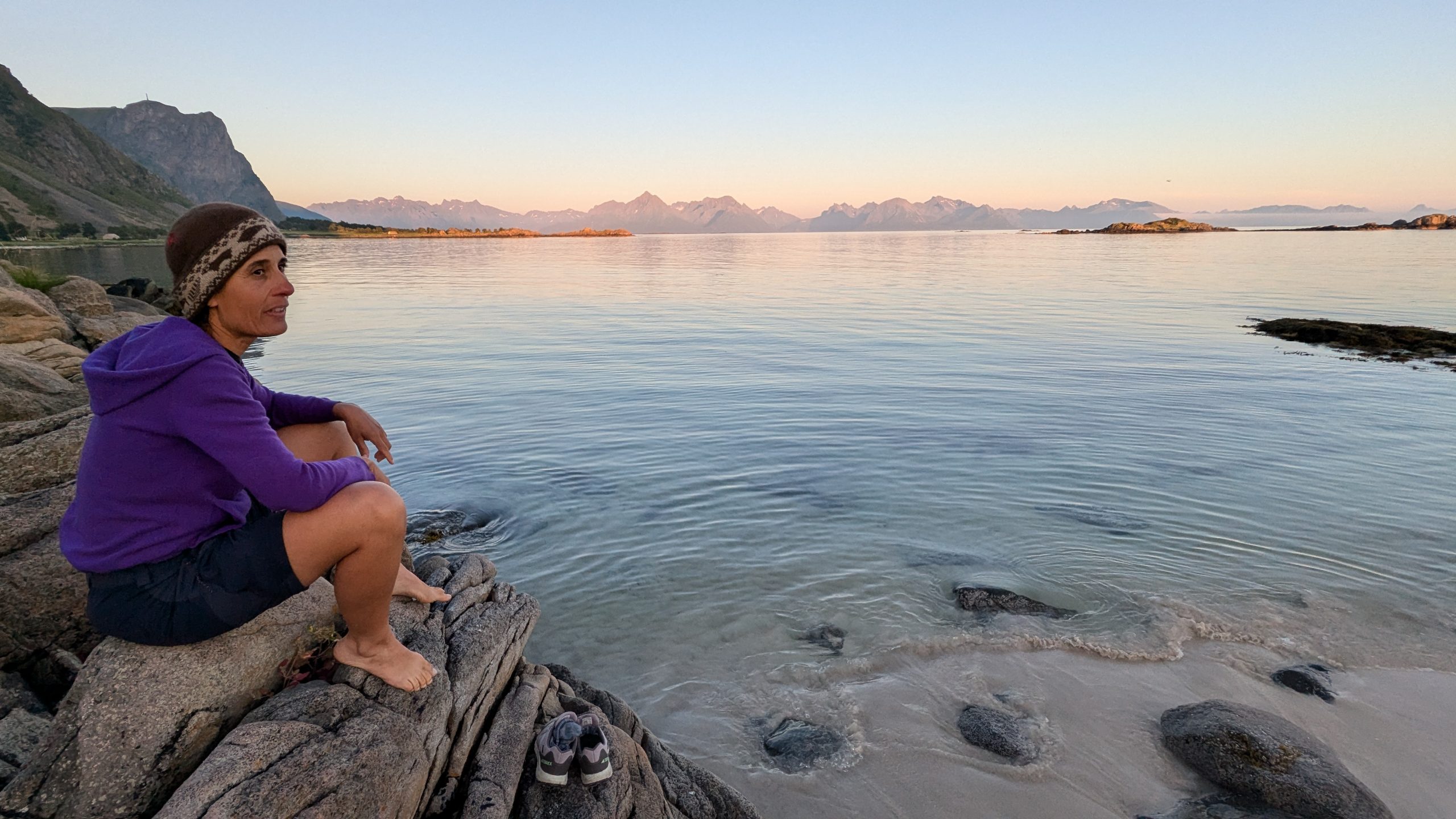
Midnight bathing 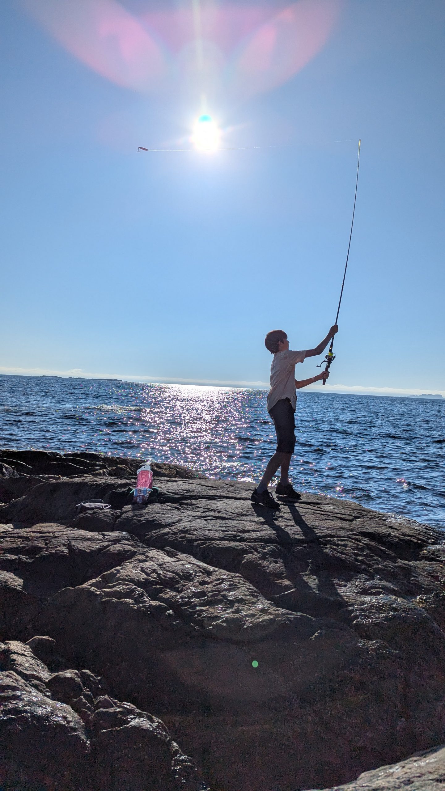
Elliot mastering the cast
In the morning we expressed down to Melbu to top up supplies and catch the ferry across to Fiskebol – finally we are in Lofoten proper! From Fiskebol we follow the small and very windy western coastal road which is about 3x longer than the direct route on the E10. There was much “discussion” over this point from the boys but in the end, it’s not the E10 which is what counts and it was long and scenic with a magnificent beach stop and mostly flat, until the last bit where we crossed back over to the E10 side of the peninsula and stayed in another rubbish campsite chock full of campervans and hardly any facilities. Someone gave us some fish because he had caught too many and we had none. Apparently the fishing is super easy, if you know how. And where.

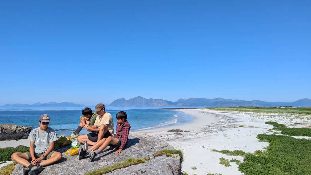
Lunch spot at the beach 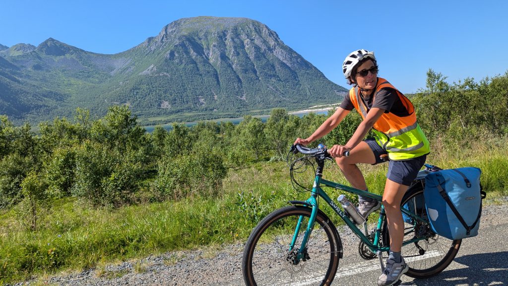
The long way around the fjord 
From Rubbish camping the next morning it was just a quick jaunt down the busy busy E10 (single carriageway but not fun) to Svolvaer where we planned to pick up a fast boat to Trollfjord…