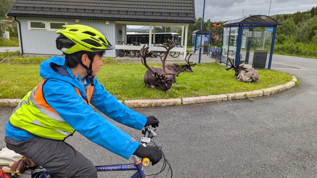
Leaving Tromso campsite, within a a km it is the far north experience that we packed for: grey skies and a light but consistent rain that has us huddled under a bus shelter, cinching down the panniers and donning all of our waterproof(ish)s. Feeling impermeable, and with the thunderheads approaching from the west, we head off over the tall bridge to Tromso proper hoping not to get struck by lightening. Buy some stove fuel and fishing lures. From there, it’s up and over the mount of the island, still wet, descent back around the airport, light rain, over the next bridge to the north side, light drizzle, restock at the supermarket and we’re off, misty rain.
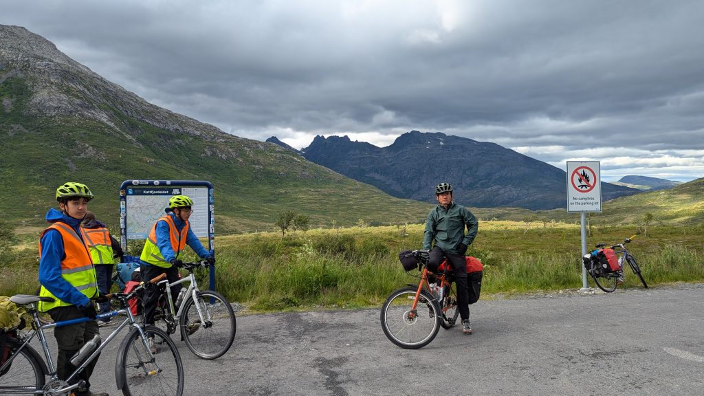
Basically, our plan here is to pick up the Eurovelo 1 route which started at Cap Nord (a few hundred km behind us, it is the northern most point of mainland Norway or maybe Europe) and follow it down to somewhere beyond Lofoten as time permits. The full route runs to the south of Portugal – something to save for another day.
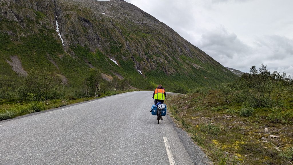
Looks like a descent coming up
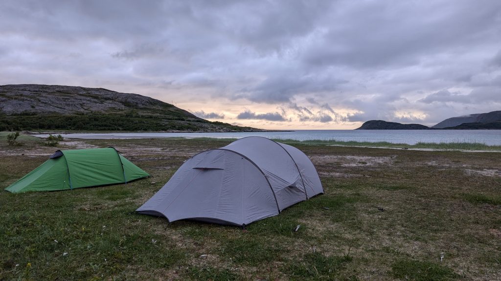
From Tromso, it’s an easy and lightly trafficked route, with a good rise through Kavoya, descending back down to the fjord level and following the coast around until eventually we plant out tents on Sandviksletta beach. The beach is a good walk away from the road and there are a handful of campers there already. Luckily it is a huge beach so we find a nice spot even with a picnic table and it’s pretty calm, after asking some others to turn down their music! RVs have to stay at the parking where there is also a toilet. Water is from a stream a few km back down the road. Quite civilised all in all.
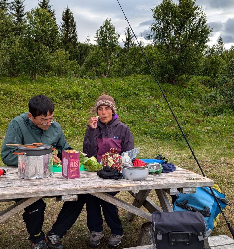
The chefs 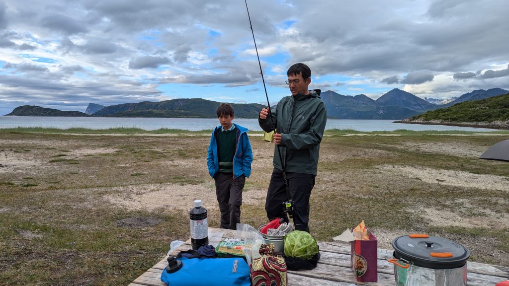
Sandvik – not actually fishing 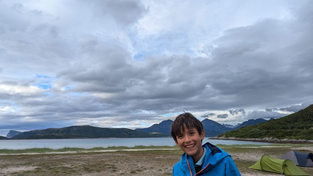
Sandvik
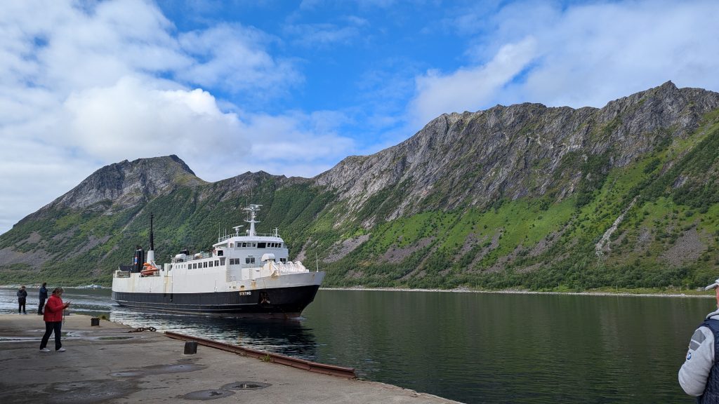
The next morning is a not too wet, not too rushed and with a not too long route down to the port to catch the ferry to Senja. It is our first boat and we’re glad we’re on bikes. The queue of campervans looks like double what the boat could carry but bikes get to skip to the front. Hurrah!
It’s a short hop to Senja. Senja is Norways’s largest island outside of Svalbard and is considered by those who consider these things to be a lesser Lofoten with similar but lesser craggy peaks and less deep fjords but on the upside blessed with only 1% of the number of tourists. On the other hand, it is pretty misty and damp for us and the peaks (and sometimes us) are largely obscured by clouds.
Here we have to make some hard decisions. For example, we forego the fish and chip lunch as the restaurant requires a detour and an extra steep ascent in a long dark tunnel to get back to the route – we’re not ready for that. Similarly, we skip the notion of hard climb of some of the peaks as it is likely to be in the fog the whole time. Our attempt at a lower level hike is thwarted by extensive boggy ground and leaky shoes. To boot, Sascha has some tummy woes. We lunch on a rock and then pedal on, following the fjord, passing by some busy beaches and eventually setting up on Steinfjord beach which is small and discrete and little used as the parking is apparently payant.
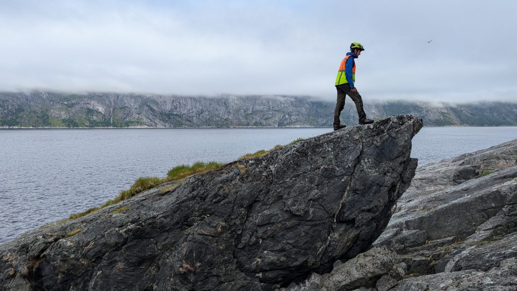

the peak peeks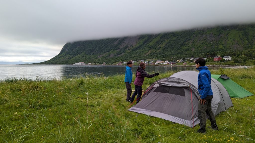
evening pitch 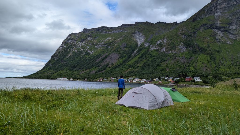
in the morning
The next morning, the road from the beach runs straight up to a tunnel which continues up. It’s our first serious cycling tunnel and has a button that you push as you enter to let drivers know that there is a cyclist therein. It starts up, but after a while it is disorienting and it’s hard to tell if you are still going up but at the exit it’s definitely a nice run down into the next fjord. We make a small but long detour to Skaland village which boasts a micro joker supermarket. When cycle touring, it seems that one is always on the lookout for the three basic amenities: a tent spot, food, and phone charging. Here we have two out of three and on top of that there’s free coffee and a place to sit with it out of the weather. Which we did when the rain picked up and accompanied it with pastries.
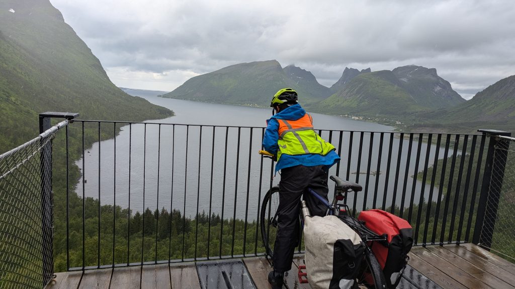
Lookout! 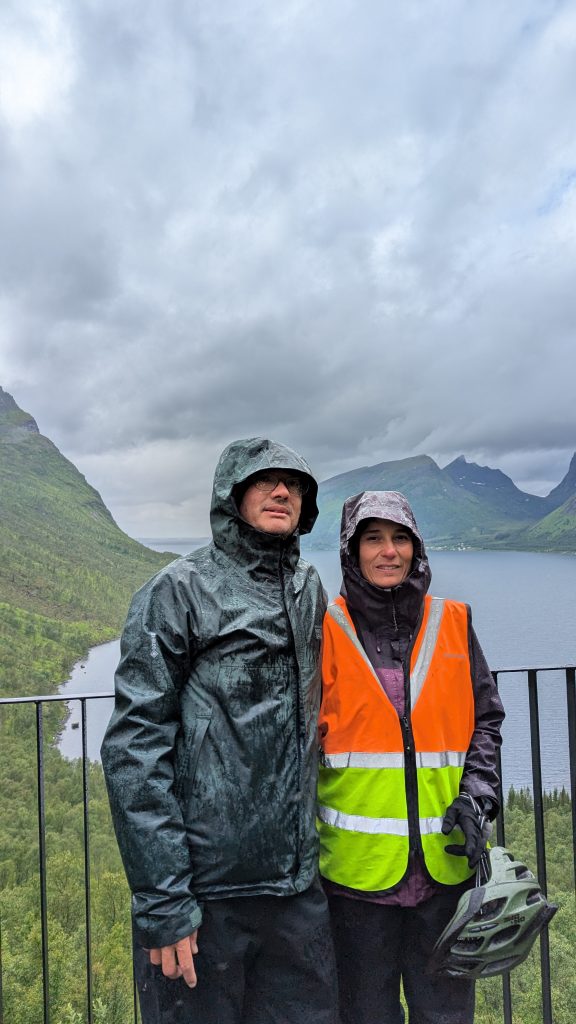
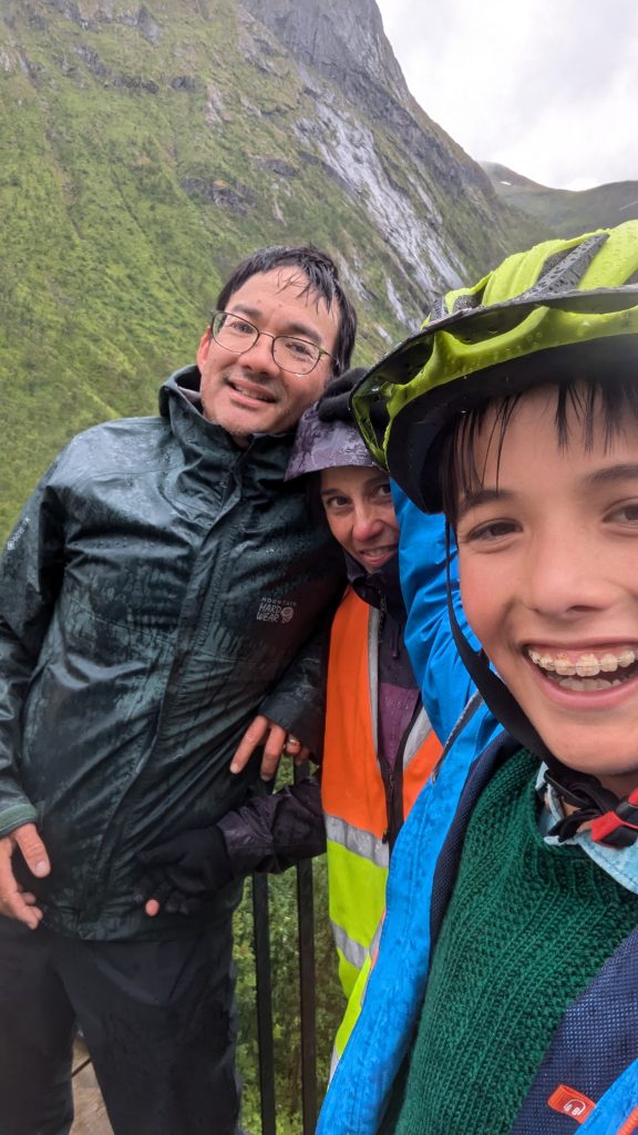
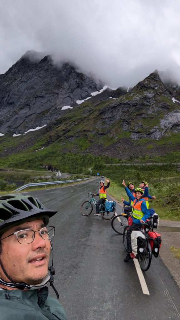
The road disappears into the mountain 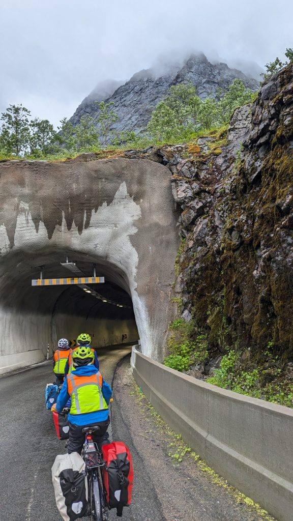
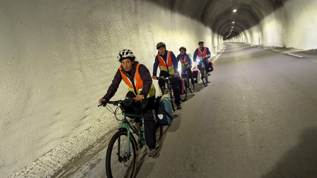
Not scary at all
We shopped up big as we had booked two nights at another DNT located towards the centre of Senja. When the rain eased, we skirted the fjord and had a nice energetic climb, with view point, and then further up, about 200m or so in altitude, and then the road plunges into the side of the mountain and a longer tunnel continues the ascent up another 100m or so to get us into the central valley and a rewarding silly-fast descent. Continueing, everyone is pretty fatigued at this point even though the distance isn’t that great and we’re all relieved when eventually we come to a small path that runs to the hut, only a few hundred metres from the road. Easy peasy. Inside, again it is grand lux. A warm fire, proper beds. Very cosy. The first night we share with a couple of keen mountain runners and the second we have three German walkers.
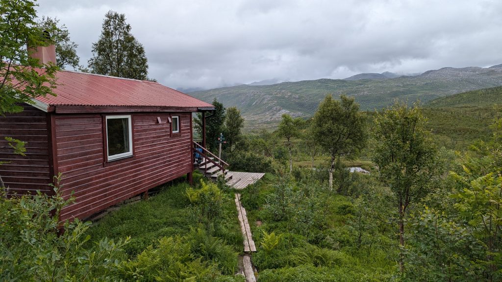
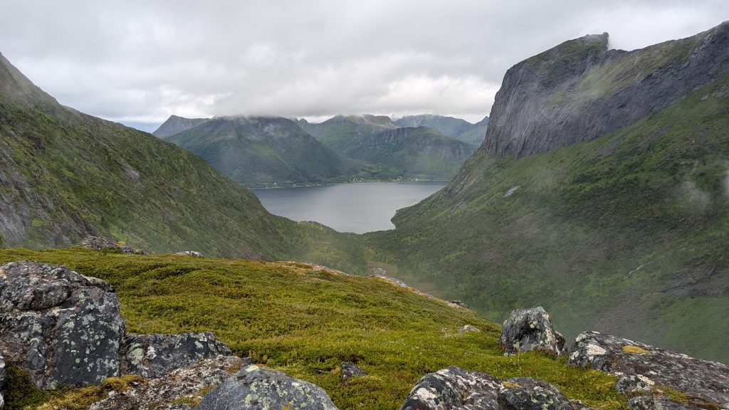
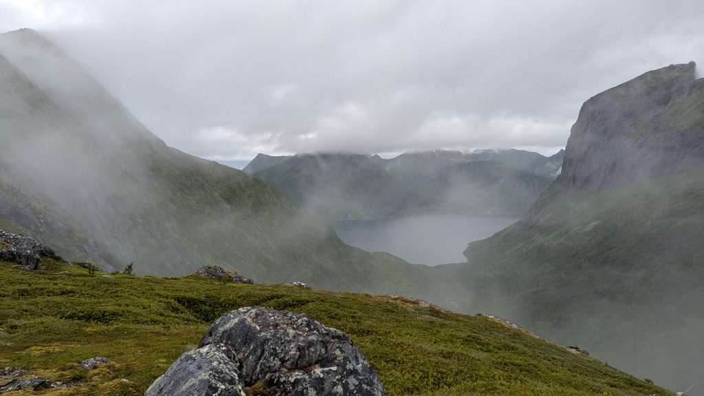
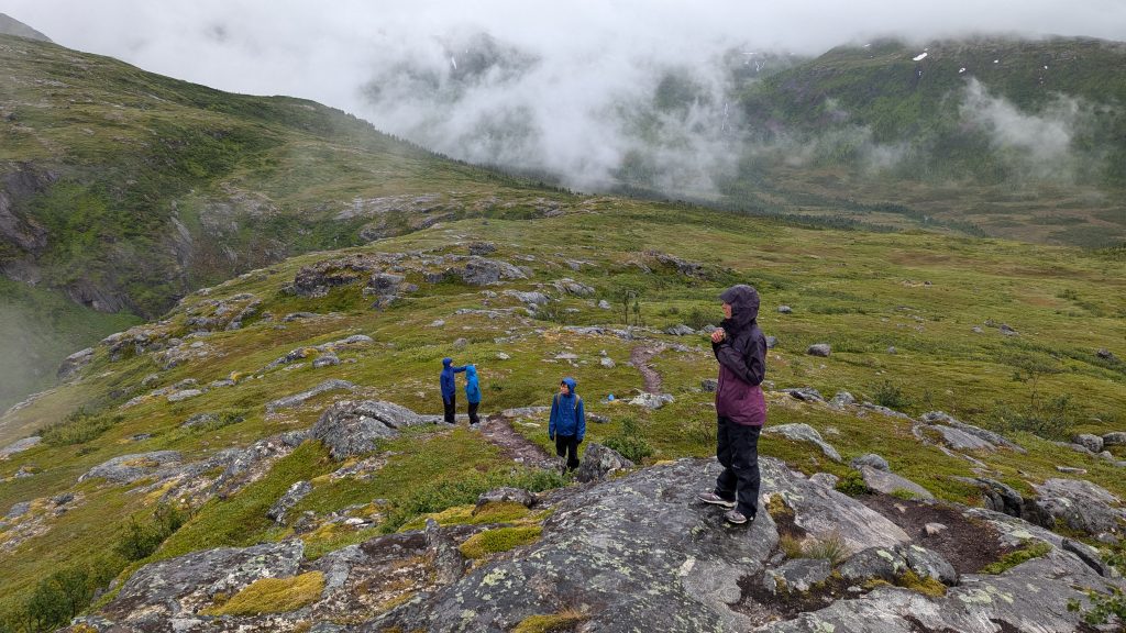
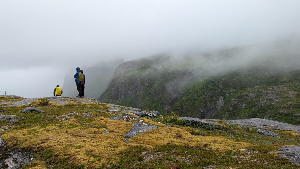
For our “rest day”, we convince the kids that off-bike time is more than just lounging about so we plot to climb a small peak in the vicinity, Flobjorn. It starts with a little bit of cycling back up towards the tunnel. But this initial grumbling aside, the walk climbs through bog and forest and rocks and moss and mist, opening out onto the mountain with cloudfilled valleys on either side. Damp and spectacular. From time to time the clouds part allowing us to see the higher peaks around, the fjords beyond and the blue waters that lend thin credence to the belief that maybe we are in some tropical lands.
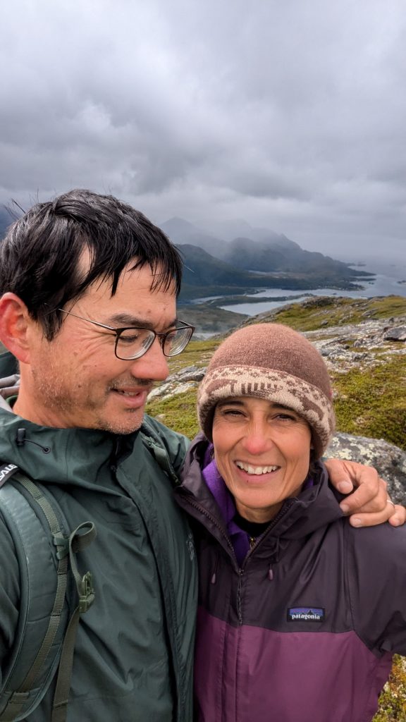
Summit fever 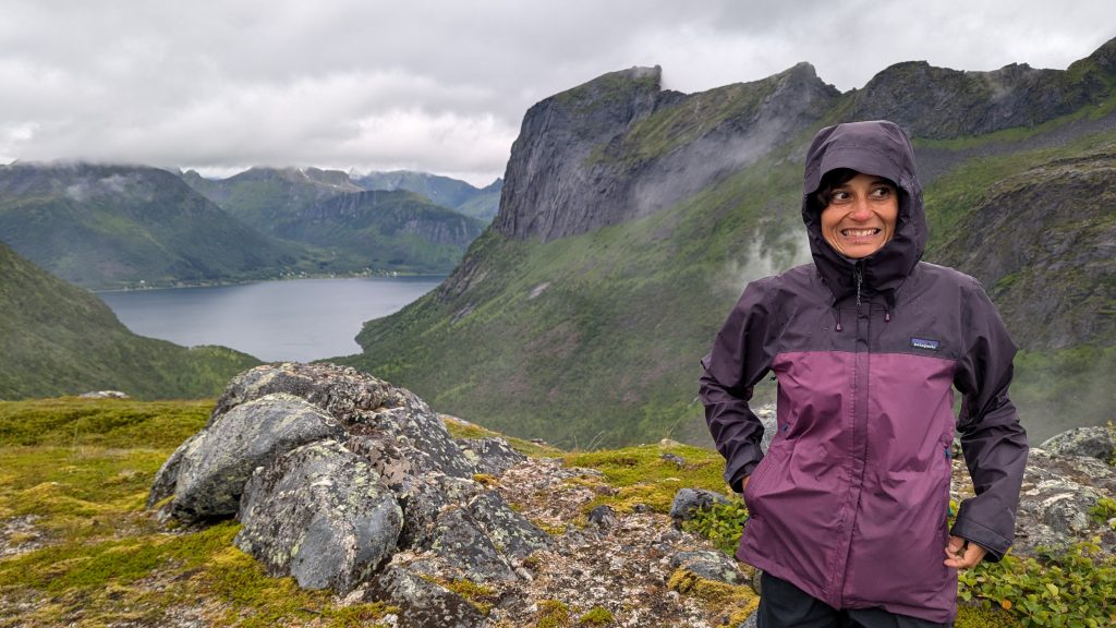
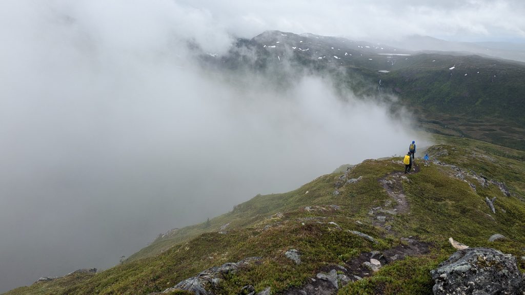
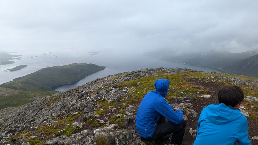
Back to the hut, we welcome the warmth of a roaring fire and the hearty fartiness of revitalised peas. With salt.
The next day, it is on on on. The route to the ferry port is further than it seems on the map and with more ups and downs and more tunnels than it seems on the map but not so much more that the navigator and route-planner doesn’t attract too much ire. En-plus, we skip the queue again and some ladies at the ferry terminal are selling Kanellabulla. Yum. Plus we can charge on the boat – two out of three.
